30 April 2021
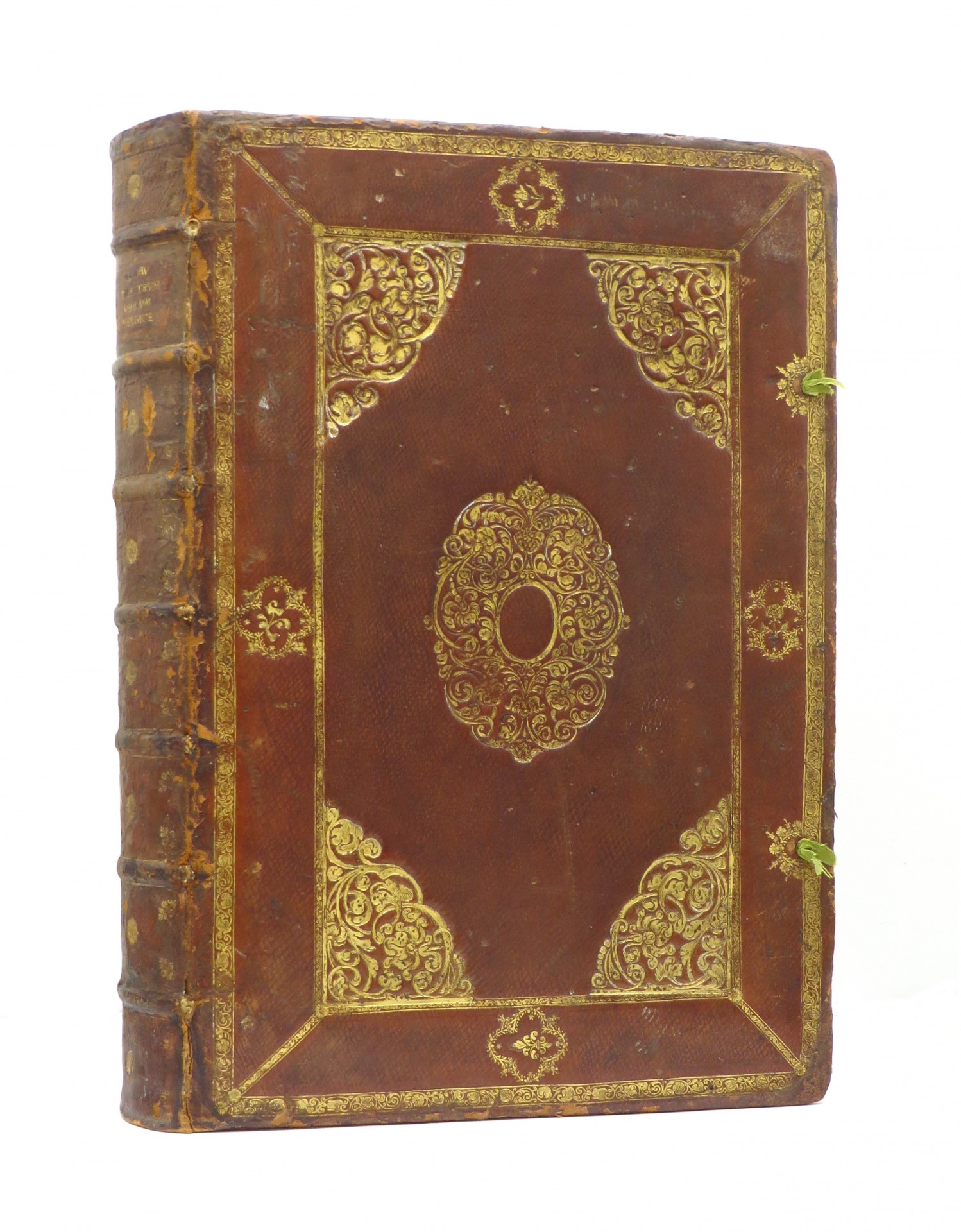
A magnificent copy of the second Latin edition of the first volume.
Latin text, 7 typographical dedication sheets, 34 sheets of text. With a fine, contemporary hand-colored and gold-heightened copper title, some colored woodcut initials, text woodcuts, and text coppers as well as colored copper plates, city views, bird’s eye view plans, and fortifications.
In the excellent original leather binding, probably from Blaeu’s house bindery with typical Dutch mannerism borders, powerfully embossed in shimmering gold. Overall a remarkably beautiful copy in excellent, very fine, and everywhere nuanced contemporary colors from the property of the major Ashburner Library, Florence.
“The second edition of Blaeu’s Latin town atlas of the Netherlands differs from the first edition by the different distribution of the towns over the two volumes. Twenty-six maps from the second volume (Spanish Netherlands) of the first edition have now been incorporated in this first volume of the second edition. For this edition, the text was not reprinted, but Blaeu made use of the same printed sheets as were used for the first edition.” (Koeman, Atlantes Neerlandici Vol. IV-1 p. 315)
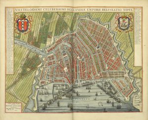
In the days of Blaeu, the Dutch Republic passed through its Golden Age and Amsterdam was the ever-expanding center of international trade, overseas expansion, and wealth. In such a city all conditions were present to start a flourishing publishing house for maps and atlases: international contacts, financial means, and a sales market. Willem Jansz. Blaeu (1571-1638) capitalized on these circumstances, possessing know-how and an excellent business instinct. After an apprenticeship with the famous Danish astronomer Tycho Brahe, he founded his printing and publishing firm in Amsterdam. From his first printed maps (dating from 1604) he attracted attention by the quality of his maps and his innovations.
In the introduction Blaeu next discusses the content of his intentioned town atlas. The first realized volumes are devoted to the Netherlands, his home country, because he knows this country the best and because according to the laws of nature he loves it the most. Besides, the Netherlands, according to Blaeu, had been the “only stage of the most courageous actions of the whole world”. Blaeu refers to the Eighty Years’ War that ended with the Peace of Westphalia in 1648. And Blaeu is happy with that outcome: “How happy are we to live in these times!”
From the very beginning, Blaeu’s maps were enormously popular. As a result, his name became a kind of quality mark. And because the surface area of most towns remained unchanged in the 18th century the maps remained in use for a long time. There are even clues that several of Blaeu’s maps were sold by other publishers as ‘actual map material’ until far in the 19th century. The maps in Blaeu’s Toonneel der steden are the peak of the Dutch production of printed town plans in the 17th century. They played an important role in the image of the Dutch Republic as a country bound for success.